Training Events

The National Hurricane Program (NHP) sponsors a number of training opportunities in various locations and formats.


2024 HURREVAC webinar series

The annual five-part webinar series will take place June 10-14, 2024. Training sessions will begin at 2 PM EDT each day and run for approximately 90 minutes.

HURREVAC training is intended for government emergency managers in the United States.

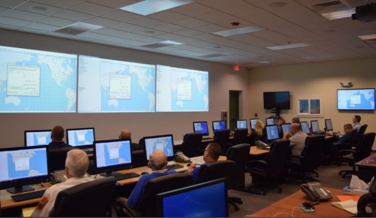
You must register for each day you plan to attend.


Day 1 – Intro to HURREVAC and the National Hurricane Program

Monday, June 10

Day 1 will cover topics introducing the program’s purpose and basic operation. New HURREVAC users are especially encouraged to join this session.

  • Get to know the National Hurricane Program partners
  • Learn the various ways HURREVAC can be used for planning and operations
  • Access and navigate the HURREVAC workspace
  • Find essential storm information and interact with it on the map
  • Customize the map and other user settings

CLICK HERE TO REGISTER FOR DAY 1


Day 2 – Wind Forecast Features

Tuesday, June 11

Day 2 will cover the program’s tools related to wind timing and intensity.

  • Learn how the National Hurricane Center creates forecasts
  • Explore the meaning of probabilistic wind forecast products
  • Plot wind hazards on HURREVAC’s tracking map
  • Generate wind reports that are tailored to your area of concern

CLICK HERE TO REGISTER FOR DAY 2


Day 3 – Evacuation Timing Features

Wednesday, June 12

Day 3 will cover the program’s tools to support evacuation decisions and response timelines.

  • Learn how Hurricane Evacuation Studies (HES) are developed
  • Find HES outputs and evacuation zones within HURREVAC
  • Use forecast data to calculate evacuation start time
  • Develop custom timeline actions relative to the arrival of a storm

CLICK HERE TO REGISTER FOR DAY 3


Day 4 – Storm Surge and Flooding Hazards

Thursday, June 13

Day 4 will cover tools in the program related to storm surge and flooding hazards.

  • Understand how the National Hurricane Center develops storm surge inundation mapping
  • Tour the rainfall and flooding forecasts issued by NOAA’s Weather Prediction Center
  • See where to access storm surge and rainfall data throughout HURREVAC
  • Learn how storm surge maps can aid planning, response, and operational decisions

CLICK HERE TO REGISTER FOR DAY 4


Day 5 – Applying HURREVAC for Planning and Operations

Friday, June 14

Day 5 will review the week’s concepts and introduce exercises to apply key tools in HURREVAC. This session is designed to benefit both new and experienced HURREVAC users.

  • See the latest features in the program for 2024
  • Interact with SLOSH data and storm surge planning scenarios
  • Learn the various ways to create and apply points of interest
  • Gather storm information to design graphics for briefings
  • Work through exercise scenarios to apply wind, surge, and evacuation timing tools

CLICK HERE TO REGISTER FOR DAY 5


Recordings of webinar sessions from 2023 are posted on the User Guides and Tutorials page.


HURREVAC training at conferences

Each spring, HURREVAC courses and special presentations are delivered at various hurricane and emergency management conferences. Links and supporting materials are provided below when available.


National Hurricane Conference

March 25-28 in Orlando, FL


New Jersey Emergency Preparedness Conference

April 22-26 in Atlantic City, NJ


Florida Governor’s Hurricane Conference

May 12-17 in West Palm Beach, FL


State and local classes

Many state emergency management agencies host day-long HURREVAC training in spring and early summer. If you are interested in attending NHP-sponsored sessions in your area, contact your state EMA for dates and availability.