What’s new in Hurrevac for 2022

By Karen Townsend

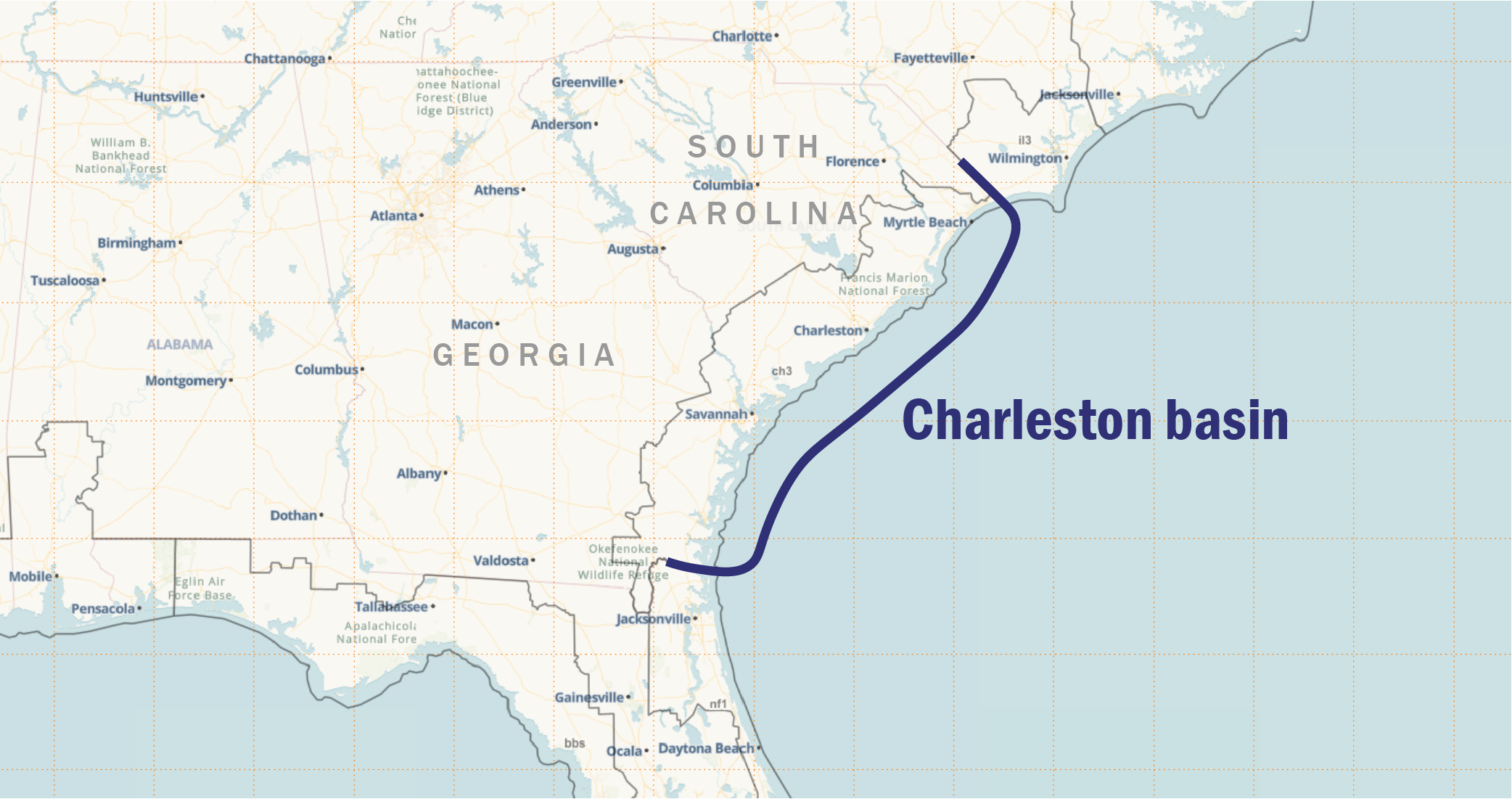
The 2022 season version of HURREVAC features a refined interface, improvements to tools, and expanded learning resources. Major upgrades 1.)  The 2022 version introduces a revamped HURREVAC logo and Toolbox icons. This is the first phase of a long-term project to optimize and align the overall user interface. 2.)  A comprehensive User Guide is now available. Dozens of new topic pages have expanded descriptions of tools, reports and data sources. An updated Quick Reference Guide (18-page PDF) is also available on the User Guides and Tutorials page of the support website. 3.)  The Storm Surge (SLOSH) Explorer user interface has been redesigned to improve the workflow. The clickable filters function as they did in previous years, and all of the underlying data layers are unchanged from 2021 (except the Charleston basin, as noted below). National MOMs are now mapped at their full extent, rather than clipped to SLOSH Basin boundaries. The side panel also features a context-specific help button. 4.)  Two Reports have enhancements to performance and layout: Closest Approach Report and (multiple location) Wind Probabilities Reports. 5.)  Self-guided training modules have been reintroduced. These are available by clicking  Training in the Toolbox. Other changes of note: Please plan to join us next week for the annual webinar series. All aspects of HURREVAC, both existing and new features, will be covered during the webinars.

System Maintenance and Upgrades Completed (5/31)

By Karen Townsend

In preparation for the start of the 2022 hurricane season, HURREVAC’s systems were temporarily taken offline tonight between 8 and 11 PM Eastern. Upgrades are now complete and service is fully restored. Contact support@hurrevac.com if you have any questions or troubles. Another announcement describing new features in HURREVAC for the 2022 hurricane season will be posted within 24 hours. Please also plan to join us next week for the annual webinar series. All aspects of HURREVAC, both existing and new features, will be covered during the webinars.

Updates to Storm Surge Modeling for South Carolina and Georgia

By Karen Townsend

Emergency managers in Georgia and South Carolina should use the updated Charleston basin (CH3) and associated high-resolution MEOWs in HURREVAC to understand their storm surge risk as it relates to both planning and operational decision-making. The Charleston basin, identified herein as CH3, was updated by the National Hurricane Center Storm Surge Unit and released by the National Hurricane Program in February 2022. The CH3 update includes improvements to both resolution and geographic extent, with the intended area of use to extend from the Florida/Georgia border to the South Carolina/North Carolina border. The National Hurricane Program is coordinating with stakeholders and program partners to evaluate impacts to the current Hurricane Evacuation Study in-progress in Georgia. Questions pertaining to CH3 should be directed to Cody.Fritz@noaa.gov at the National Hurricane Center. Questions about the use of the data in HURREVAC should be directed to support@hurrevac.com.